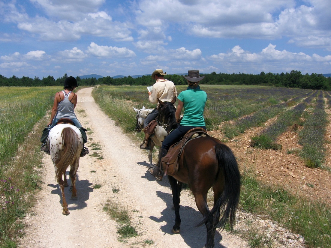
St-Michel l'Observatoire on horseback
Easy and varied route, with two thirds of trails, wide paths and tracks, offering beautiful views of the Craux de Saint-Michel, the Lure mountain, but also the Luberon Oriental, the plateau of Valensole and the entry of the Gorges du Verdon far away. The crossings of Saint-Michel-l'Observatoire and Lincel suggest their rich heritage; churches, chapels, Romanesque tower, windmill, castle, oldfaçades, beautiful doors and fountains.
6 points of interest
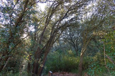
Chêne vert - ©Axelle Baumard - PNR Luberon  Flora
FloraTake root in the limestone
Do not dig, there is only limestone. Here the soil is not deep, the calacil is thin. And so, each crack is an opportunity for an acorn to find something to root on and grow on a holm oak. Slow growing, it measures up to 30cm in diameter despite being a centenarian. To prevent water loss through evaporation, this species has evolved over thousands of years by keeping small leaves.
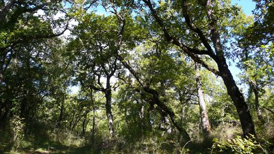
Forêt de chêne pubescent remarquable de l'OHP - ©Sophie Bourlon - PNR Luberon  Forest
O3HP: the oak forest with a magnifying glass
On the site of the Observatoire de Haute-Provence, O3HP (Oak Observatory at OHP) studies the dynamics, functioning and biodiversity of the forest of pubescent oakagainst the climate changes. ambitious project to predict future changes through a gateway instrumented system, a rain exclusion system,and sensor network (temperature, humidity ...).
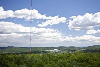
Vue sur le mât ICOS - ©DR  Panorama
The ICOS (Integrated Carbon Observation System) tower
In atmospheric sciences: the geophysics station is one of the largest global network of detection of changes in atmospheric composition (NDACC). The measurements are performed by LIDARs (including a laser), spectrometers and weather balloons. A tower 100m high, allows the multiple sampling on the composition of the air.
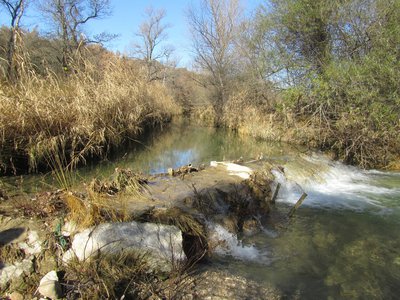
Le Largue - ©Marjorie Grimaldi - PNR Luberon  Water and rivers
Largue, river of Haute-Provence
The right bank tributary of the Durance, the river basin of the Largue is modest with its 372km². It is a varied territory stretching from the Lure mountain to the plain of the Durance, through the hills and plateaus of the central region and the Luberon Oriental mountainous areas. The Largue, and its main tributary the Laye, are the identity of several living areas. The diversity of the territory is shown in land use and activities related to water availability.
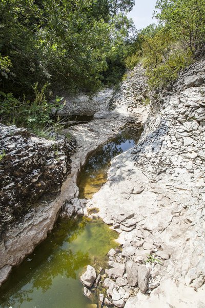
Le Largue - ©David Tatin Water and riversThe Largue river by Jean Giono
"[...]. A stream is located far back, under the willows. It's the Largue river. A Largue quite large. It doesn't flow like all streams, equal torrents, but sleeps in deep holes then the water slides from one hole to the other, carrying fishes, then everything stops and rain is expected on the plateaus. When we look at these water holes, [...], I understood why the girls were drowning: it's the door to a country, it is a departure point [...] "
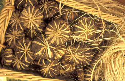
Fromages de Banon - ©PNR Luberon  Produits du terroir
Goat cheese
In the Luberon, the goat farms are small farms where the milk from the herds is processed. The choice is yours to enjoy delicious goat cheeses! The Banon, honoured by a PDO, is a curd and mild goat cheese with a powerful taste, refined sometimes with brandy.! Wrapped in chestnut leaves, it is the most recognizable cheese from Provence. It is sold from March to October at the farm or at the markets.
Description
Turn left at the back of the parking lot, pass the town hall and follow the street to the right for 300m.
1 - Take two rights. Pass in front of the cemetery, take a left at the 1st intersection and turn right after the steep path. Further down, climb the narrow path to the left. At the top, take the track to the right, then continue straight. At the crossroads "Tour de Porchères", turn left, pass a house, then turn right. Head into the woods (stony passages) and go around by the right the old quarries (private property). Take a right at the Y-shaped fork.
2 - At the crossroads "Petit Sauvan", turn left towards Saint-Jean. Turn left after 150m and continue straight (low branches). Continue the track, pass a house and turn left on the small road. Descend on the D305 and follow to the left for 200meters (traffic!).
3 - Turn right, go past the shed and ascend calmly (pebbly section). Turn left at the first crossroads, go along an old wall and go down to go up on the plateau. At a series of crossroads, continue straight. Reach to the D5 (traffic!), descend 50m to the right, then turn left. At the crossroads "Le Roure", continue straight. then pass over a home. Take two lefts and reach the D205. Continue on the right until Lincel (traffic!)
4 - In front of the church, turn left and continue straight when exiting the village. Leave the GR on the right to continue on the small road. At the end, go across and pass under a rocky ridge (source) and continue on the path into the woods (smooth slope). After a steep path, take the path on the right going down until the D205.
5 - Follow the road to the right that leads back to St-Michel-l'Observatoire (traffic!). At the entrance of the village, do not turn across the narrow one-way, but continue on the right. At the stop sign, go straight to reach the car park of the starting point.
- Departure : Car park of Bardouin, south of the town hall, Saint-Michel l'Observatoire
- Arrival : Car park of Bardouin, south of the town hall, Saint-Michel l'Observatoire
- Towns crossed : Saint-Michel-l'Observatoire
Forecast
Altimetric profile
Recommandations
Difficulties on specific fields:
- (before the point 2), two rocky passages.
- (after point 2) low branches.
- (after point 3); a rocky section;
- (Between points 4 and 5) walk on the slighlty overhanging slabs.
Information desks

House of the Luberon Regional Nature Park
60, place Jean Jaurès, 84400 Apt
In the heart the old town centre of Apt, the House of the Luberon Regional Nature Park welcomes you in a town house of the 18th century. The permanent exhibition of the geology museum has a rich collection of fossils evidencing the geological history of the Luberon.
On sale at the shop: books, maps, guidebooks, games, posters...
Open Monday to Friday from 8:30 am to 12:00 pm and from 1:30 pm to 6 pm (and on Saturday, depending on the program). Free admission.

OTI Forcalquier-Montagne de Lure
13, place du Bourguet, B.P. 15, 04301 Forcalquier
Transport
Access and parking
Village of Saint-Michel-l'Observatoire, at 16km from Manosque by the D907 and D105, or 21km from La Brillanne by Forcalquier and the D4100 and D105.
Parking :
Access
Report a problem or an error
If you have found an error on this page or if you have noticed any problems during your hike, please report them to us here: