The Ariane on mountain bike
A tour along the riversides at theheart of the Aigue Agnelle Valley which lets you reach to the parking area of the Ariane bridge.
4 points of interest
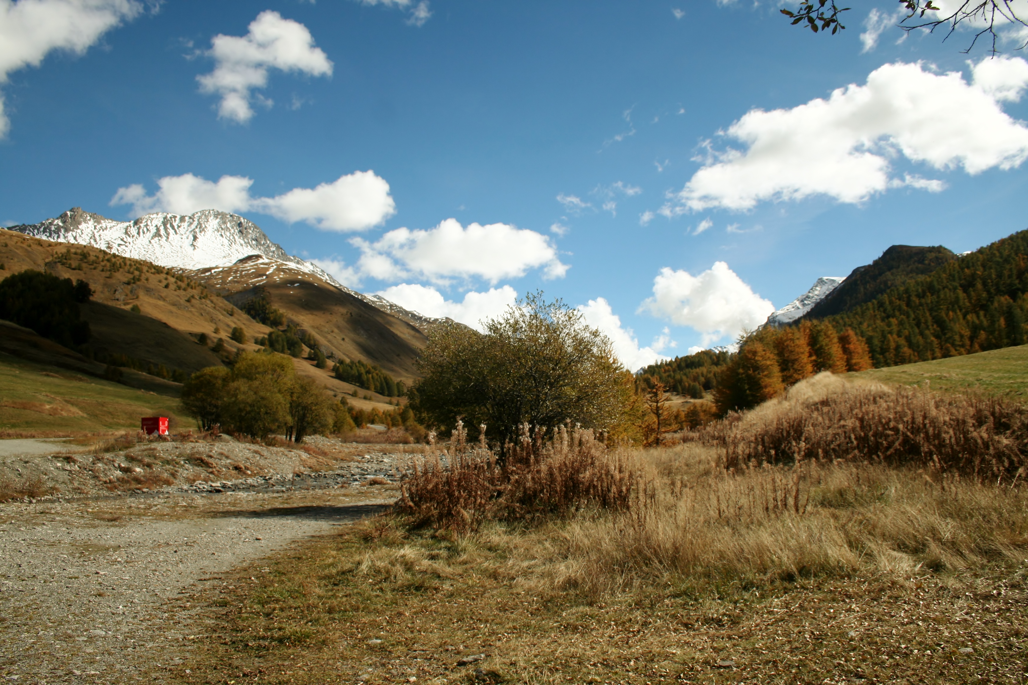
La vallée de l'Aigue Agnel depuis le parking de Chanterane - Benjamin Musella - PNR Queyras  Panorama
View from the car park
View from the car park of Chanterane. We can see the Aigue Agnelle Valley and its peaks: the peaks of the Fond du Peynin, the Grand Queyras, the Foréant and the Pain de Sucre.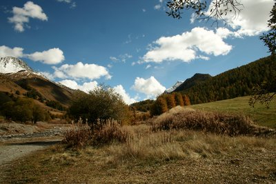
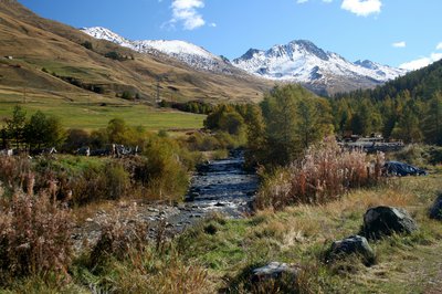
Vallée de l’Aigue d’Agnelle depuis le pont de l’Ariane - Benjamin Musella - PNR Queyras PanoramaAigue Agnelle valley from the Ariane bridge
View towards the Aigue d'Agnelle valley. Snowy on the left side the Crête des Fonzes leads to the Grand Queyras. At the bottom right, Mount Pointe des Sagnes Longues can be seen. In between both, you can make out the Col Agnel and the border with Italy.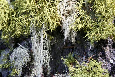
Bio indicateurs : les Lichens - Benjamin Musella - PNR Queyras  Flora
FloraBio indicators: Lichens
A symbiosis between an alga and a fungus, lichens are both very strong and very fragile. Indeed, they are able to withstand a strong drought and extremely different temperatures (-70 °C / -94 °F to 70 °C / 158 °F). However, they are very sensitive to air pollution, including sulphur dioxide. They are thus good indicators of air quality. Here, you can contemplate two species of fruticose lichens. One has a vivid yellow colour which is due to the presence of a particularly toxic acid: vulpinic acid.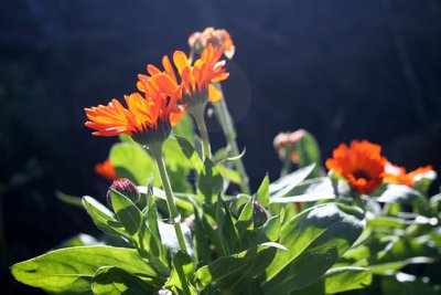
Calendula officinalis - Benjamin Musella - PNR Queyras FloraCalendula officinalis
Better known under the name of Marigold, this plant is used in herbal medicine or cultivated in gardens to scare away insects. Its seeds can withstand very low temperatures (-25 °C / -13 °F) and are spread by the wind. These characteristics explain its presence here because it is not its natural distribution area. The Marigold has calming and healing properties. It is used for skin problems, various inflammations, gastric problems and liver diseases.
Description
From the top of the parking area of Chanterane, leave the bridge on the left and follow the track on the left bank of the Aigue Agnel. Apart from 2 hairpin bends a bit steep, the entire route is on smooth terrain.
1 - Cross the Peyre Bartino bridge and continue until the Ariane bridge.
2 - From there, turn around and follow the opposite path.
3 - At the top, do not descend on the 2 hairpin bends mentioned above but continue straight on the track. Follow this false flat track going down until you reach a road.
4 - Turn right and follow the path until the car park.
- Departure : Molines-en-Queyras
- Arrival : Molines-en-Queyras
- Towns crossed : Molines-en-Queyras
Forecast
Altimetric profile
Information desks
House of the Queyras Regional Nature Park
3580 Route de l’Izoard, 05350 Arvieux
The House of the Queyras Regional Nature Park is closed to the public.
OTI du Guillestrois et du Queyras
Maison du Tourisme du Queyras, 05350 Château-Ville-Vieille
Transport
05 Voyageur: 04 92 502 505 Tourist Office of Queyras : 04 92 46 76 18
Access and parking
Stay on the RD 5 until Molines-en-Queyras, head towards Italy, reach the village of Pierre Grosse, then cross it and on 100m before the exit, go down on the right to the Chanterane bridge.
Parking :
More information
Report a problem or an error
If you have found an error on this page or if you have noticed any problems during your hike, please report them to us here: